Chosen theme: Navigation Skills for Mountain Terrain. Step into the high country with confidence as we blend practical techniques, field-tested wisdom, and memorable stories that help you read ridgelines, trust your tools, and make smart, safe decisions.
Mountains speak in shapes: ridges guide, valleys funnel, saddles invite passage, and cliffs deny it. Train your eye to trace contours into living forms, anticipating obstacles and opportunities before your boots touch the slope.
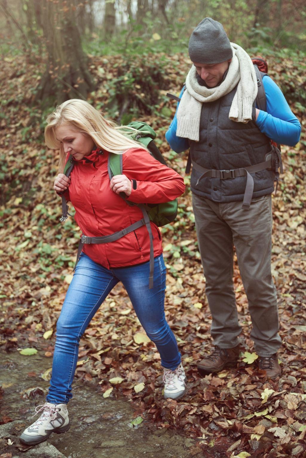
In mountain terrain, haste hides hazards. Pause to confirm your position, align map and compass, and choose features you can follow. Good navigation saves time, energy, and morale when conditions change unexpectedly.
On a breezy autumn traverse, a friendly ridge split unexpectedly. We stopped, checked the map, shot a bearing, and realized the correct spur veered subtly east. Five careful minutes prevented an hour of backtracking.
Topographic Maps: Turning Lines into Landscapes
01
Reading Contours and Slope Angle
Close contours mean steep ground; wide spacing suggests gentle slopes. Note aspect for sun, wind, and snowpack influences. Visualizing slope steepness helps you plan safe traverses, avoid cliff bands, and find efficient ascent lines.
02
Spurs, Reentrants, and Saddles
Spurs extend from ridges; reentrants collect water and clues; saddles offer low points for crossing. Mark these features on your route and use them as handrails and checkpoints to confirm direction without constant compass consultation.
03
Choosing the Right Map Scale
Large-scale maps reveal nuance; smaller scales show the big picture. For mountain travel, pair a detailed topo with a broader overview. Switch between both to maintain context while executing precise micro-navigation decisions.
Compass Confidence: Bearings, Backsight, and Resection
Kneel to steady the baseplate, shield the needle from gusts, and align your body behind the direction-of-travel arrow. Confirm with a backsight to reduce error, especially when gloves and shivering hands compromise precision.
Compass Confidence: Bearings, Backsight, and Resection
Identify two or three distinct landmarks, shoot bearings, and draw back-bearings on the map. Where lines intersect, there you are. Practice often so the method feels natural when visibility shrinks suddenly on exposed ridges.
Barometric Altimeters and Weather
Pressure changes alter readings. Calibrate at known elevations like trailheads or passes, and recalibrate after fronts move through. Pair altimeter data with map contours to maintain confidence during long, featureless ascents.
As you climb, mentally tick off each contour crossed and compare times against your pacing. This simple habit builds a vertical handrail, especially useful when the route winds through treed slopes or cloud-socked bowls.
Digital Tools Done Right: GPS, Apps, and Redundancy
Download tiles, carry a backup battery, and keep your phone warm to preserve charge. Dim screens, enable airplane mode, and log key waypoints. Tech extends awareness when managed deliberately amid cold and elevation.
Digital Tools Done Right: GPS, Apps, and Redundancy
Plot routes at home, then validate on the ground. If the GPX line clashes with terrain, side with reality and your map. Update waypoints as you learn the mountain’s true character underfoot.
Pacing, Timing, and Drift
Use measured paces and time-boxed legs between checkpoints. Assign a pace counter, rotate leadership, and correct drift early. In fog or snowfall, small deviations compound quickly on featureless alpine benches.
Whiteout Wisdom on Snow
Scan for subtle texture: sastrugi direction, cornice shadows, wind-packed crust. Sound carries differently in whiteouts; listen for streams or distant ridges. Anchor your movement to conservative bearings between large, unmistakable features.
Night Navigation Discipline
Dim your headlamp to preserve contrast, avoid tunnel vision, and identify reflective clues. Assign roles—navigator, timekeeper, rear-check. Communicate bearings and distances aloud to cross-verify, preventing quiet errors from growing dangerous.
Route Planning, Decision Points, and Community
Turnaround Times and Exit Strategies
Set conservative turnaround times, align them with daylight and weather windows, and pre-select sheltered bailouts. When doubts arise, turn early. Mountains remain; your reserves and team trust matter more.
Handrails, Catching Features, Aiming Off
Choose linear features to follow, define unmistakable backstops, and aim off intentionally to hit a stream or ridge decisively. These classic methods shine when precision matters on long, slanted traverses.
Share, Learn, and Subscribe
Tell us your hardest navigation lesson from mountain terrain, and what you changed afterward. Drop questions, compare strategies, and subscribe for fresh field drills and route-planning templates delivered regularly.